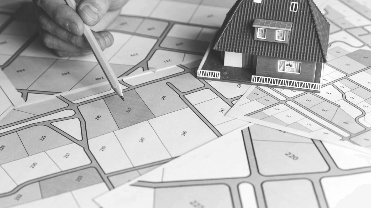
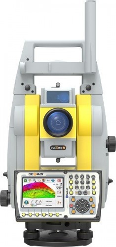
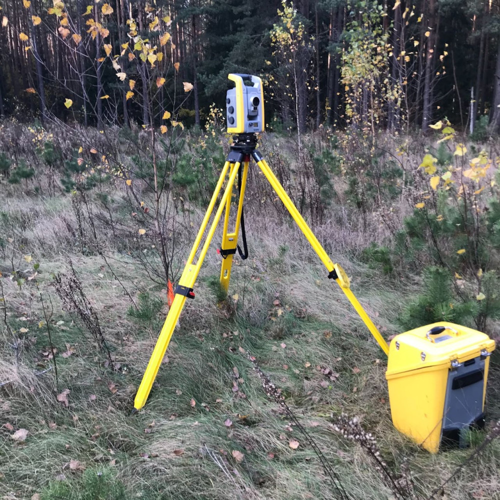
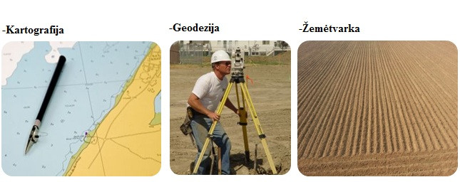
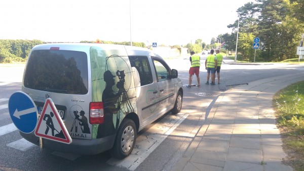
cadastral measurements geodetic measurements land measurements topographic measurements topographic plan preparation of topographical plans complying photos connection of parcels land management projects
3.3 km | Laisvės pr. 58-311 (Viršuliškės), Vilnius
cadastral measurements geodetic measurements prescription of certificates construction technical maintenance designing services construction projects management
Engineering geodesy topographical images land and building inventory measurements geodesy land management inventory taking measurements of land division projects projects for the restructuring rural development projects in land preparation consultations engineering work topography Geodetic works land use planning projects...
geodetic measurements masthead photo measurements of land division projects projects for the restructuring rural development projects in land preparation consultations projects cadastral measurements geodesy surveyors inventory taking architects architecture
Geodetic works detailed plans special plans topographical images professional advice land management topography geodetic measurements of buildings inventory taking topographical works cadastral measurements
land management geodesy land measurements geodetic measurements preparation of topographical plans formation of land parcels land management projects cadastre topographical images complying photos land parcels division projects protection security service alarms safety physical protection...
Info.lt slapukų surinkta informacija leidžia užtikrinti galimybę vartotojams naršyti patogiau, teikti patrauklius
pasiūlymus bei daugiau sužinoti apie vartotojų elgesį, analizuoti tendencijas ir tobulinti svetainę, klientų aptarnavimą
bei UAB "Saulės Spektras" teikiamas paslaugas. Sutikdami, paspauskite mygtuką „Leisti slapukus“.
Šiuos slapukus naudojame savo lankytojams ir stengiamės pasiūlyti paprastą bei pažangią svetainę, kuri automatiškai
prisitaiko prie jų poreikių ir norų. Norėdami tai pasiekti naudojame techninius slapukus, kurie padeda rodyti Jums
mūsų svetainę, padeda užtikrinti jos funkcionalumą, sukurti vartotojo paskyrą, prisijungti ir kitaip apdoroti pagal
funkcionalumą. Šie techniniai slapukai yra būtini tinkamam mūsų svetainės funkcionavimui.
Šiuos slapukus naudojame prisiminti Jūsų pageidavimus ir padėti naudotis mūsų svetaine veiksmingai bei efektyviai.
Pavyzdžiui, šie slapukai prisimena Jūsų pageidaujamą kalbą, paieškas ir anksčiau peržiūrėtas paslaugas/prekes. Šiuos
slapukus galime naudoti ir Jūsų registracijos informacijai prisiminti, kad kaskart apsilankius mūsų svetainėje Jums
nereikėtų iš naujo įvesti prisijungimo duomenų. Šie funkciniai slapukai nėra būtini svetainei funkcionuoti, tačiau
prideda funkcionalumo ir pagerina Jūsų naudojimosi Bendrovės svetaine patirtį.
Šiuos slapukus naudojame įgyti įžvalgų apie tai, kaip mūsų lankytojai naudojasi Bendrovės svetaine. Tokiu būdu
galime optimizuoti ir pagerinti savo svetainę, suprasti reklamų ir komunikacijos efektyvumą bei užtikrinti, kad vis dar
esame įdomūs ir aktualūs. Galime rinkti duomenis apie Jūsų peržiūrėtus internetinius puslapius, iš kurių puslapių
atėjote, bei informaciją apie datą ir laiką. Tai taip pat reiškia, kad galime naudoti informaciją apie Jus ir tai, kaip
naudojate Bendrovėje svetainę, pavyzdžiui, apsilankymo dažnumą, paspaudimų skaičių tam tikrame puslapyje,
naudotus paieškos žodžius ir kt. Kaip mūsų reklaminių kampanijų dalį, galime panaudoti analitinius slapukus, kad
sužinotume, kaip vartotojai naršo mūsų svetainėje po to, kai jiems parodoma reklama internete. Tai gali apimti ir
reklamas trečiųjų šalių svetainėse.
Šiuos slapukus naudojame savo ir trečiųjų šalių slapukus, kad savo bei kitose svetainėse rodytume suasmenintą
reklamą. Tai vadinama „pakartotine rinkodara“, kuri pagrįsta naršymo veiksmais, pavyzdžiui, Jūsų ieškotomis,
peržiūrėtomis prekėmis/paslaugomis.
Šiuos slapukus naudojame, kurių klasifikavimą vykdome kartu su atskirų slapukų teikėjais.
Šie slapukai nenaudojami.
Kaip UAB "Saulės Spektras" (toliau – Bendrovė) naudoja slapukus?
Info.lt slapukų surinkta informacija leidžia užtikrinti galimybę vartotojams naršyti patogiau, teikti patrauklius
pasiūlymus bei daugiau sužinoti apie vartotojų elgesį, analizuoti tendencijas ir tobulinti svetainę, klientų aptarnavimą
bei Bendrovės teikiamas paslaugas.
Kas yra slapukai?
Slapukas (angl. Cookie) – tai mažas tekstinis failas, kurį interneto svetainė įrašo į Jūsų kompiuterio arba mobilaus prietaiso naršyklę, kai Jūs apsilankote svetainėje. Sekantį kartą apsilankius svetainėje šis failas gali būti nuskaitytas, kad svetainė galėtų atpažinti Jūsų kompiuterį ar mobilųjį prietaisą.
Slapukų surinkta informacija leidžia mums užtikrinti Jūsų galimybę naršyti patogiau, teikti Jums patrauklius pasiūlymus bei daugiau sužinoti apie svetainės naudotojų elgesį, analizuoti tendencijas ir tobulinti svetainę, klientų aptarnavimą ir Bendrovės teikiamas paslaugas.
Slapukai taip pat naudojami tam, kad būtų užregistruota, ar sutinkate, kad Bendrovės svetainėje būtų naudojami slapukai, kad šis klausimas nebūtų užduodamas kiekvieną kartą apsilankant svetainėje. Visus naudojamus slapukus ir jų aprašymus galite matyti slapukų išklotinėje.
Kokius slapukus naudoja Bendrovė?
Būtinieji
Šiuos slapukus naudojame savo lankytojams ir stengiamės pasiūlyti paprastą bei pažangią svetainę, kuri automatiškai
prisitaiko prie jų poreikių ir norų. Norėdami tai pasiekti naudojame techninius slapukus, kurie padeda rodyti Jums
mūsų svetainę, padeda užtikrinti jos funkcionalumą, sukurti vartotojo paskyrą, prisijungti ir kitaip apdoroti pagal
funkcionalumą. Šie techniniai slapukai yra būtini tinkamam mūsų svetainės funkcionavimui.
Funkciniai
Šiuos slapukus naudojame prisiminti Jūsų pageidavimus ir padėti naudotis mūsų svetaine veiksmingai bei efektyviai.
Pavyzdžiui, šie slapukai prisimena Jūsų pageidaujamą kalbą, paieškas ir anksčiau peržiūrėtas paslaugas/prekes. Šiuos
slapukus galime naudoti ir Jūsų registracijos informacijai prisiminti, kad kaskart apsilankius mūsų svetainėje Jums
nereikėtų iš naujo įvesti prisijungimo duomenų. Šie funkciniai slapukai nėra būtini svetainei funkcionuoti, tačiau
prideda funkcionalumo ir pagerina Jūsų naudojimosi Bendrovės svetaine patirtį.
Statistiniai
Šiuos slapukus naudojame įgyti įžvalgų apie tai, kaip mūsų lankytojai naudojasi Bendrovės svetaine. Tokiu būdu
galime optimizuoti ir pagerinti savo svetainę, suprasti reklamų ir komunikacijos efektyvumą bei užtikrinti, kad vis dar
esame įdomūs ir aktualūs. Galime rinkti duomenis apie Jūsų peržiūrėtus internetinius puslapius, iš kurių puslapių
atėjote, bei informaciją apie datą ir laiką. Tai taip pat reiškia, kad galime naudoti informaciją apie Jus ir tai, kaip
naudojate Bendrovėje svetainę, pavyzdžiui, apsilankymo dažnumą, paspaudimų skaičių tam tikrame puslapyje,
naudotus paieškos žodžius ir kt. Kaip mūsų reklaminių kampanijų dalį, galime panaudoti analitinius slapukus, kad
sužinotume, kaip vartotojai naršo mūsų svetainėje po to, kai jiems parodoma reklama internete. Tai gali apimti ir
reklamas trečiųjų šalių svetainėse.
Reklaminiai
Šiuos slapukus naudojame savo ir trečiųjų šalių slapukus, kad savo bei kitose svetainėse rodytume suasmenintą
reklamą. Tai vadinama „pakartotine rinkodara“, kuri pagrįsta naršymo veiksmais, pavyzdžiui, Jūsų ieškotomis,
peržiūrėtomis prekėmis/paslaugomis.
Neklasifikuoti slapukai
Šiuos slapukus naudojame, kurių klasifikavimą vykdome kartu su atskirų slapukų teikėjais.
Kas yra konversijų sekimas „Pixel“?
„Pixel“ žyma – tai yra vadinamas (angl. web beacons), (angl. clear GIFs) arba paslėptas programinis kodas. „Pixel“
žyma renka informaciją su trumpais programinio kodo fragmentais, kurie perkelia šią informaciją į mažą grafinį
vaizdą (paprastai nematomą) apie Jūsų veiksmus, kuriuos atliekate mūsų svetainėje. Surinkta informacija
persiunčiama į “Pixel” paslaugų tiekėjo serverį, priešingai nei slapukai įrašydami į Jūsų naršyklę. „Pixel“ gali rinkti
įvairią informacija apie Jūsų veiksmus mūsų svetainėje, mygtukų paspaudimus tam tikrose vietose, pildomų formų
laukų informaciją, IP adresą, informaciją apie naudojamą interneto naršyklę ir kt. „Pixel“ žyma taip pat atpažįsta tam
tikros rūšies informaciją Jūsų kompiuteryje, pvz., esamus slapukus ir juose užfiksuotą informaciją, tokiu būdų padeda
parinkti Jums reklamas, jas optimizuoti pagal surinktus duomenis, kurti tikslines auditorijas būsimoms reklamoms ir
pakartotinės rinkodaros pasiūlymus potencialiems klientams – žmonėms, kurie jau ėmėsi tam tikrų veiksmų mūsų
svetainėje.
Kaip Bendrovė naudoja konversijų sekimą „Pixel“?
„Pixel“ mes naudojame kaip analizės įrankį, leidžiantį įvertinti reklamos efektyvumą, suprasdamas veiksmus, kuriuos
atliekate mūsų svetainėje. Mums padeda stebėti reklamas, optimizuoti jas pagal surinktus duomenis, kurti tikslines
auditorijas būsimoms reklamoms ir pakartotinės rinkodaros pasiūlymus potencialiems klientams – žmonėms, kurie
jau ėmėsi tam tikrų veiksmų mūsų svetainėje. Visus naudojamus „Pixel“ ir jų aprašymus galite matyti slapukų ir
„Pixel“ išklotinėje.
Duomenys apie naudojamus slapukus ir „Pixel“
Mūsų svetainėje yra nuorodų į kitų asmenų, įmonių ar organizacijų interneto tinklalapius. Atkreipiame dėmesį, kad
Bendrovė nėra atsakinga už tokių interneto tinklalapių turinį ar jų naudojamus privatumo užtikrinimo principus. Tad
jei paspaudę nuorodą iš Bendrovės interneto svetainės pateksite į kitus tinklalapius, turėtumėte atskirai pasidomėti
jų privatumo politika.
Kas turi prieigą prie Jūsų duomenų?
Prieigą prie statistinių duomenų apie Bendrovės svetainės lankytojus turi Bendrovės darbuotojai, dirbantys
Bendrovės rinkodaros ir IT padaliniuose, kurie yra atsakingi už šių duomenų analizę ir interneto svetainės
tobulinimą.
Prieigą prie techninių įrašų taip pat gali turėti Bendrovės partneriai, kurie teikia Bendrovės interneto svetainės
turinio valdymo įrankius.
Visus kitus mūsų partnerius ir jų privatumo politikas galite matyti slapukų įrankyje, skiltyje „Slapukų aprašas“:
Parodyti slapukų įrankį.
Kiek Bendrovė išsaugo Jūsų duomenis?
Bendrovės naudoja surinktus duomenis analizei iki trejų metų. Slapukai paprastai galioja trumpai, priklauso nuo
slapuko tipo (vieną dieną, savaitę ar mėnesį), bet kai kuriais atvejais gali galioti ir iki dvejų metų. Tikslius slapukų
galiojimo terminus galite matyti slapukų įrankyje, skiltyje „Slapukų aprašas“: Parodyti slapukų įrankį.
Jeigu esate davę sutikimą slapukams, savo sutikimą galite atšaukti paspaudę šią nuorodą, matysite, kad slapukų
sutikimas yra atšauktas, kai perkrausite svetainę iš naujo: ATŠAUKTI DUOTĄ SLAPUKŲ SUTIKIMĄ (Taip pat sutikimą
galite atšaukti atžymėję varneles ir patvirtindami savo pasirinkimą slapukų įrankyje)
Norėdami daugiau sužinoti apie slapukus ir kaip juos tvarkyti ar pašalinti, tiesiog apsilankykite
puslapyje www.allaboutcookies.org ir Jūsų naršyklės pagalbos puslapyje.
Kokias teises Jūs turite ir kaip galite jas įgyvendinti?
Jūs turite šias duomenų subjektų teises:
žinoti (būti informuotas) apie savo asmens duomenų tvarkymą;
gauti informaciją, iš kokių šaltinių ir kokie asmens duomenys surinkti, kokiu tikslu jie tvarkomi, kokiems
duomenų gavėjams teikiami ir buvo teikti;
reikalauti ištaisyti tvarkomus savo asmens duomenis, jei duomenys netikslūs ir / ar nepilni;
reikalauti sunaikinti savo asmens duomenis arba sustabdyti savo asmens duomenų tvarkymą, jei tvarkomi
pertekliniai asmens duomenys, jei atšaukiate savo sutikimą ar yra tam kitas pakankamas pagrindas;
susistemintu, įprastai naudojamu ir kompiuterio skaitomu formatu gauti sus savimi susijusius asmens
duomenis, kuriuos Jūs pateikėte Bendrovei, ir persiųsti tuos duomenis kitam duomenų valdytojui, arba
reikalauti, kad Bendrovė tiesiogiai persiųstų šiuos asmens duomenis kitam duomenų valdytojui, kai tai
techniškai įmanoma (teisė į duomenų perkeliamumą).
Jeigu ketinate įgyvendinti savo teises, galite kreiptis į Bendrovę el. paštu info@saulesspektras.lt. Atkreipiame dėmesį, kad
įgyvendinant savo teises, Jūs privalote tinkamai patvirtinti savo asmens tapatybę. Todėl ketindamas siųsti prašymą
Bendrovei, privalote teisės aktų nustatyta tvarka elektroninių ryšių priemonėmis, kurios leidžia tinkamai identifikuoti
Jus, patvirtinti savo asmens tapatybę.
Mes nevykdome tokio profiliavimo, kuris gali sukelti teisines pasekmes ar gali daryti didelį poveikį jums, tačiau
teikiant individualizuotus rinkodaros pasiūlymus, jūs galite būti priskirtas atitinkamai klientų kategorijai. Atsižvelgiant
į tai, jūs turite teisę reikalauti žmogaus įsikišimo, pareikšti savo požiūrį ir ginčyti sprendimą.
Jeigu esate davę sutikimą dėl Tiesioginės rinkodaros pranešimų gavimo, turite teisę bet kada atšaukti šį sutikimą
susisiekę su mumis el. paštu info@saulesspektras.lt ar elektroniniame laiške paspaudęs nuorodą, kuri leidžia atsisakyti
tiesioginės rinkodaros pranešimų gavimo.
Turėdami abejonių dėl asmens duomenų tvarkymo ar ketindami įgyvendinti savo teises, galite bet kada kreiptis el.
paštu info@saulesspektras.lt. Nors informacija teikiama nemokamai, tačiau jeigu jūsų siunčiami prašymai yra akivaizdžiai
nepagrįsti arba neproporcingi, visų pirma dėl jų pasikartojančio turinio, turime teisę imti pagrįstą mokestį,
atsižvelgdami į informacijos teikimo arba pranešimų ar veiksmų, kurių prašoma, administracines išlaidas, arba
atsisakyti imtis veiksmų pagal tokį prašymą.
Jeigu manote, kad mes netinkamai tvarkome jūsų duomenis ar neįgyvendiname jūsų teisių, galite pateikti skundą
Valstybinei duomenų apsaugos inspekcijai (ada@ada.lt), tačiau atminkite, kad mes visada pasirengę visus
nesklandumus išsiaiškinti kartu su Jumis.